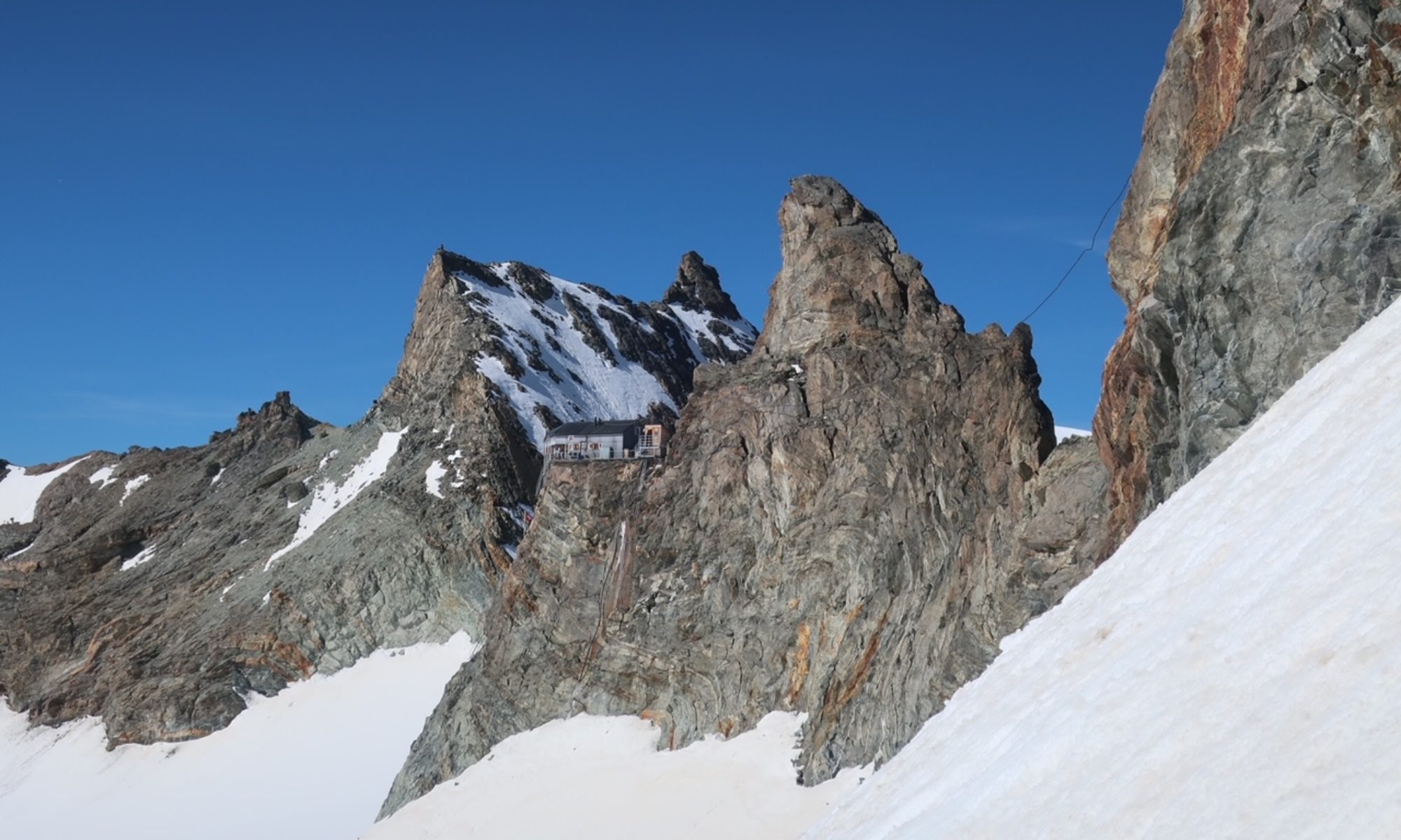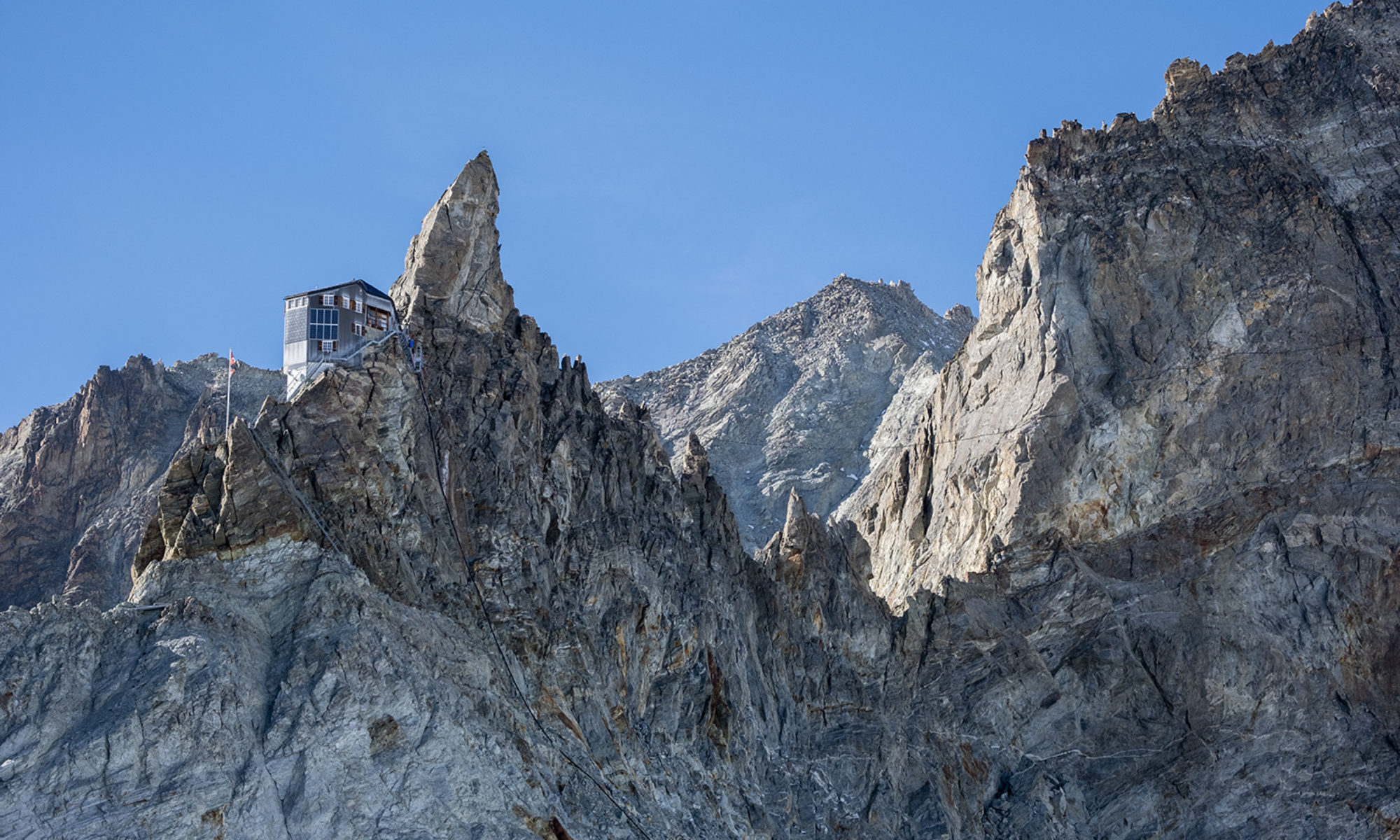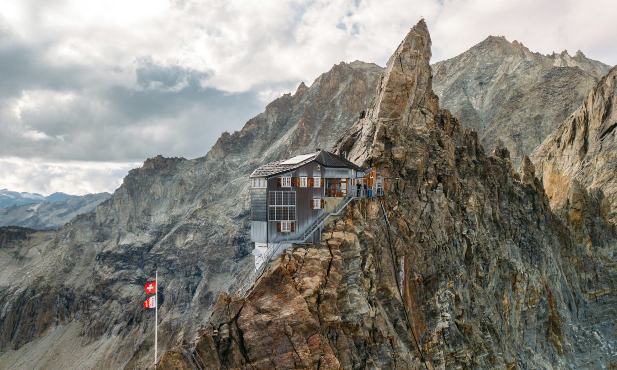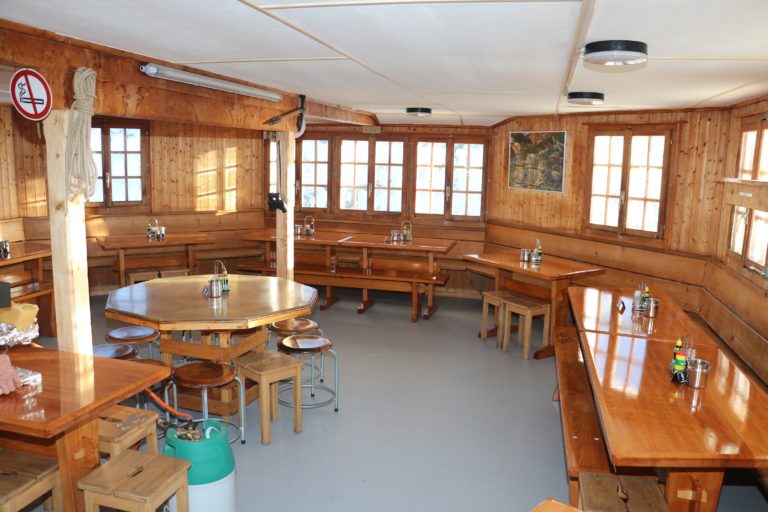
A la fin de la saison nous avons entrepris des rénovations à la cabane pour améliorer votre confort et votre accueil ! Voici au moins 3 bonnes raisons de (re)venir à la cabane Bertol : · Pour la...
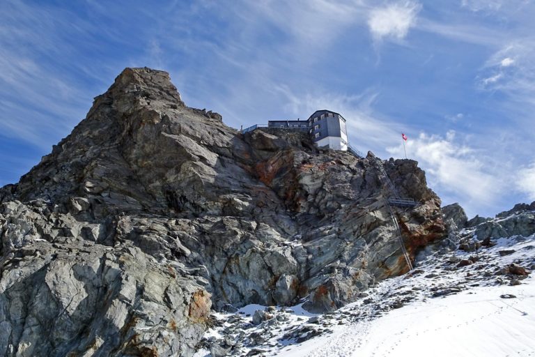
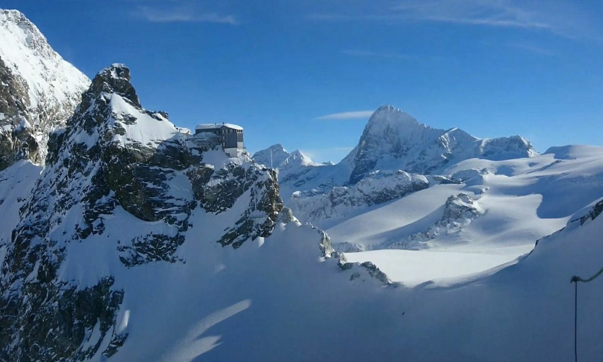
La cabane est ouverte à partir du samedi 2 mars 2024. Elle restera ouverte, sans interruption, jusqu’à la fin du mois de septembre (éventuellement, en fonction de la météo...
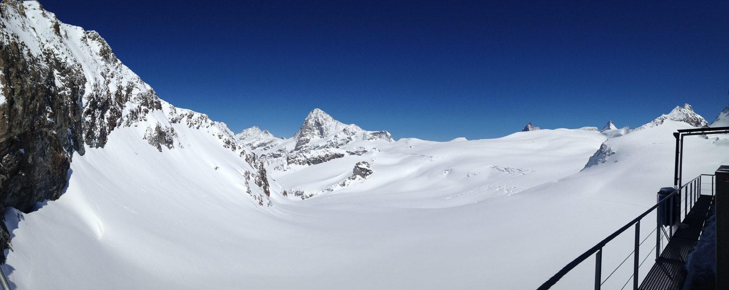
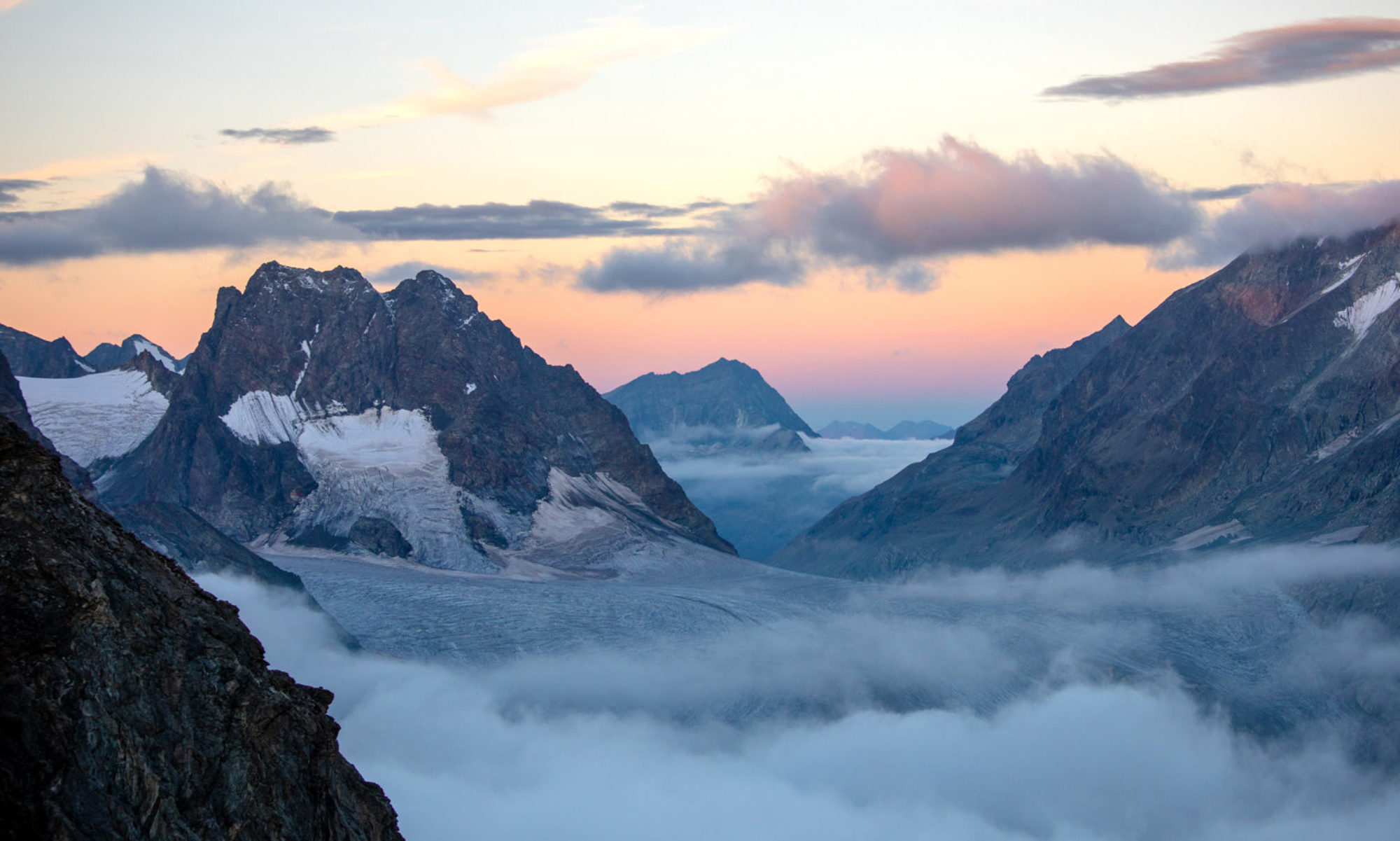
Vous avez envie de découvrir le parcours côté Arolla depuis Tête Blanche ?Planifiez une belle journée en ski de randonnée, ou mieux encore 2 jours avec une magnifique nuit à Bertol. Dès le 2 mars, la...